Massive Underground Aquifer Discovered in Oregon’s Cascade Range
This underground reservoir contains nearly three times the maximum capacity of Lake Mead, the largest reservoir in the United States
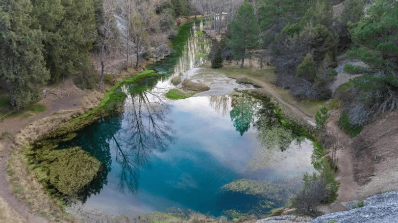
Image via Josfor vfrom Getty Images
The Cascade Range in Oregon has long been known for its towering peaks, impressive trails, and lush forests. However, recent scientific research has revealed an unexpected treasure hidden beneath its surface: an enormous underground aquifer.
Scientists from the University of Oregon have mapped this subterranean water reserve and found that it is much larger than previously thought. It holds at least 81 cubic kilometers of water.
To put that into perspective, this underground reservoir contains nearly three times the maximum capacity of Lake Mead, the largest reservoir in the United States, and more than half the volume of Lake Tahoe. This discovery has significant implications for water management and climate resilience in the Western United States, where diminishing snowpack and prolonged droughts are intensifying water shortages.
The aquifer, located beneath the volcanic rock formations at the crest of the central Oregon Cascades, plays a crucial role in sustaining the region’s water supply. Many Oregonians rely on water that originates in the Cascades, such as the McKenzie River, which provides drinking water to the city of Eugene. The revelation of such a vast water storage system raises important questions about how water moves through the region and how it can be sustainably managed in the face of climate change.
Beyond water supply concerns, the findings also contribute to the understanding of volcanic hazards in the area. Large quantities of underground water interacting with magma can lead to explosive volcanic eruptions, producing ash and gas rather than slower-moving lava flows. This insight underscores the complex relationship between geological activity and natural resources in the Pacific Northwest.
The Cascade Range has been shaped by volcanic activity over millions of years, creating a varied landscape. The western Cascades feature steep slopes and deep valleys carved by rivers, while the high Cascades have flatter terrain with numerous lakes and lava flows. The younger volcanic rocks of the high Cascades are particularly porous, allowing water to seep into the aquifer below. Scientists believe that similar large volcanic aquifers exist in other parts of the Cascade Range, including areas near Mount Shasta and north of the Columbia Gorge, potentially making it the largest aquifer of its kind in the world.
The research, published in the Proceedings of the National Academy of Sciences, highlights the importance of studying geological and hydrological systems in tandem. What began as an effort to understand the Cascade Range’s geological evolution has uncovered a critical natural resource that could influence water policy and hazard preparedness across the region.
As climate change continues to challenge water availability in the West, this discovery underscores the need for innovative approaches to water management. Understanding how these massive underground reserves function could help policymakers and scientists develop strategies to ensure long-term water security for communities that depend on the Cascades’ vital resources.
Looking for a reprint of this article?
From high-res PDFs to custom plaques, order your copy today!


